2010 Death Valley Trip |
 |
 |
 |
 |
 |
We checked out of the Inn this morning and started seeing the sights. Unfortunately the visibility was still poor and the wind continued to increase over the course of the day. The forecast in the morning called for 50 mph winds by the end of the day.
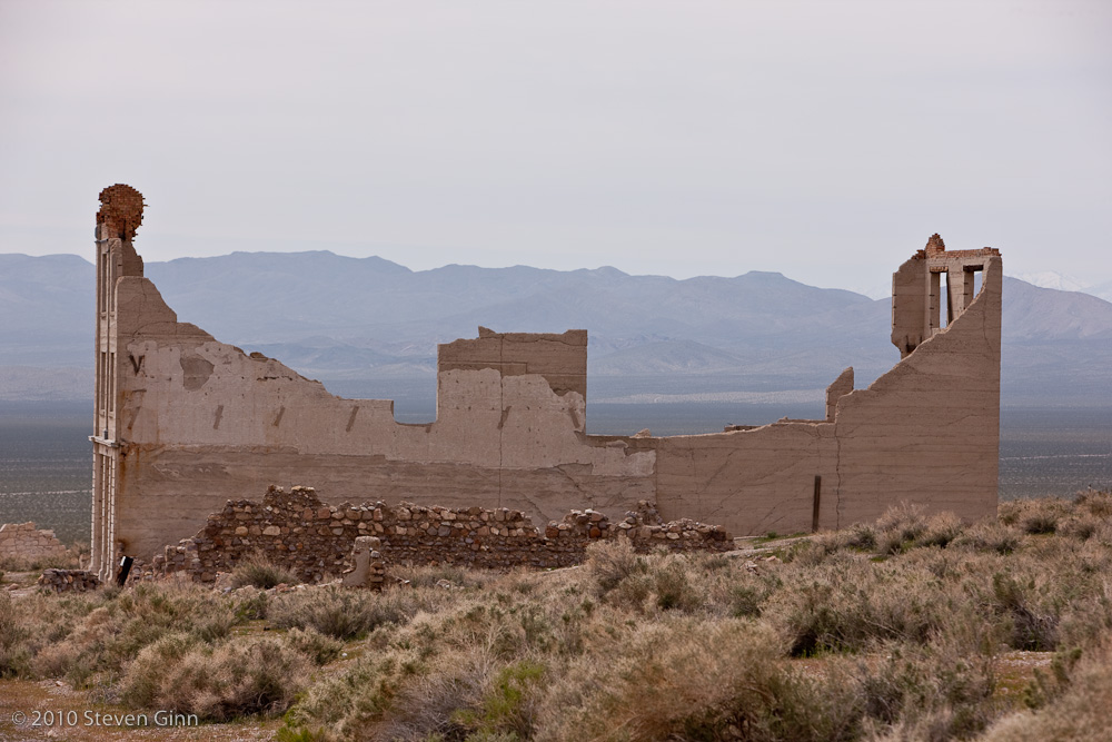
So we decided to drive through Titus Canyon for the fun of it. On the way there we stopped at the ghost town of Rhyolite, see photo below. But the drive through the canyon did not produce any interesting images.
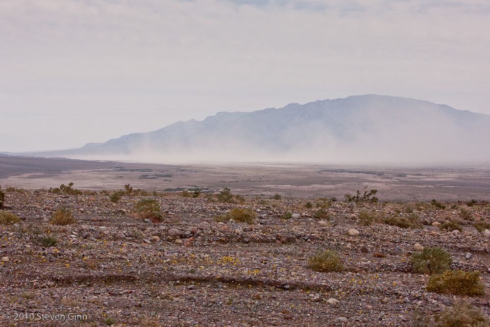
The image below, taken just as we exited the south end of Titus Canyon, is of the sand storm coming off of the Mesquite Dunes near to Stovepipe Wells.
After Titus canyon we went back to Furnace Creek and checked into our room at Furnace Creek Ranch just before an entire bus load of folks arrived to check in for some conference being held here this week. We were very lucky to get here before them or we would have had a long wait. But the result is a very nice, recently remodeled, room.
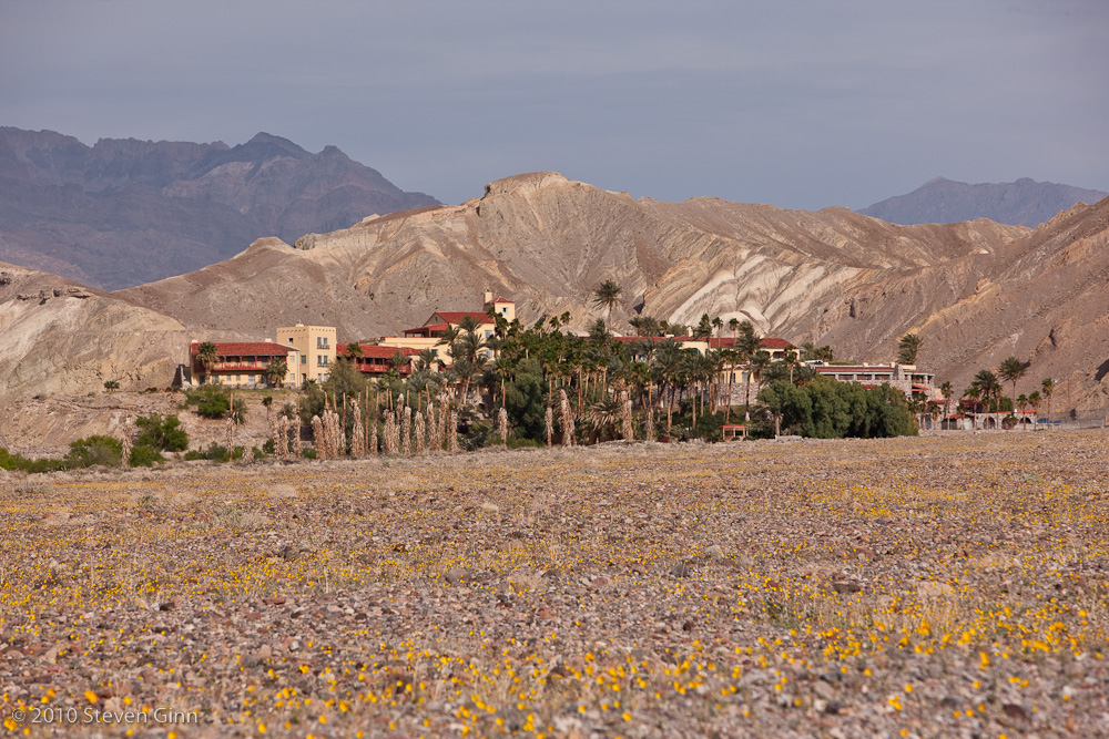
After checking in we noticed some nice late afternoon light on Furnace Creek Inn. Note the blooming flowers in the foreground. I have not taken of photo of Furnace Creek Ranch because it's a large compound of uninteresting buildings.
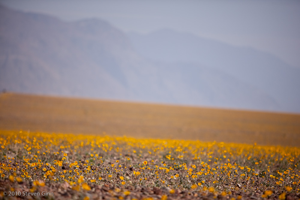
For the evening shooting we drove south towards Devils Golf Course. On the way south we found the following field of flowers. Getting out of the car was tough, the wind was blowing so strong that I could barely get the car door open. I hid behind the car using it a a wind break to take some of the shots I took at this location.
Below is an image of Devils Golf Course I took while trying to keep from being blown away in some very strong wind.
After this the sun set and we went back to Furnace Creek and had a good dinner at the Wrangler Steakhouse, I had a nice rack of lamb.
I had intended to get up early this morning and shoot sunrise at Zabriskie Point, but I over slept and by time we got there the interesting light from sunrise was over. I'll try harder tomorrow. While the wind is still blowing today it is at least less than yesterday.
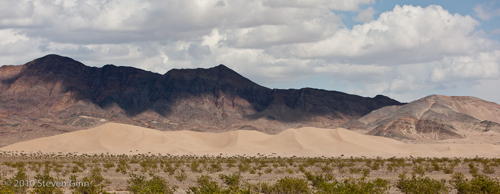
Today we took the long route south, via leaving the park on Hwy 190 and having lunch in Pahrump, NV (you will have to ask Rusty why we went to Pahrump) and then entered the park again at it's very most south east point on Saratoga Springs road in search of Ibex Dunes. Parts of this road are, so far, amoung the worst we have been on.
This is as close as we could get to Ibex Dunes by driving and we did not have time to hike out to it.
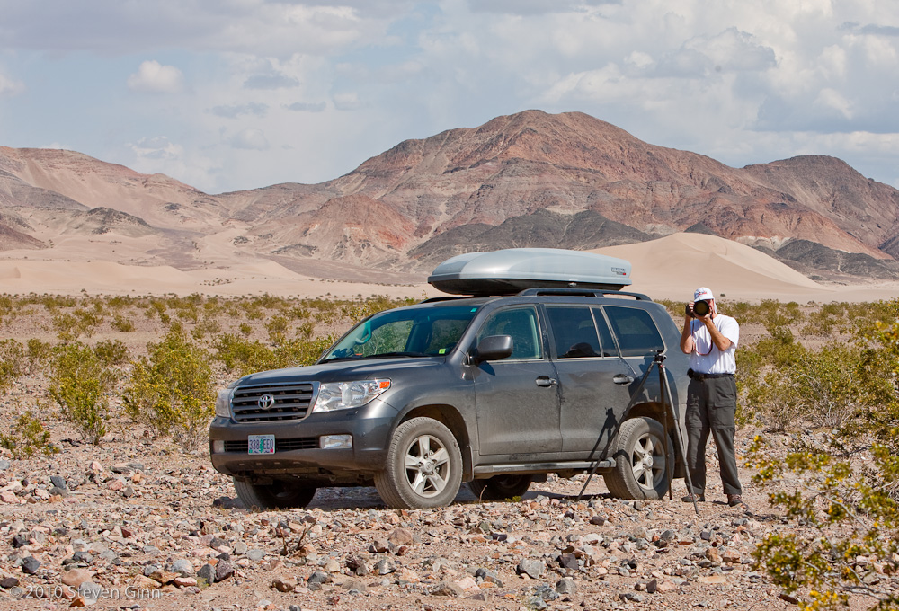
Another shot of Ibex Dunes with the car and Rusty in the forground.
Saratoga Springs was only a few miles farther so we also stopped there. It turned out to be the wettest place we have seen in Death Valley.
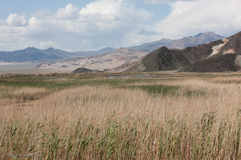
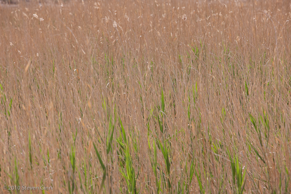
Below is an image I like of the patterns in the grass at Saratoga Springs.
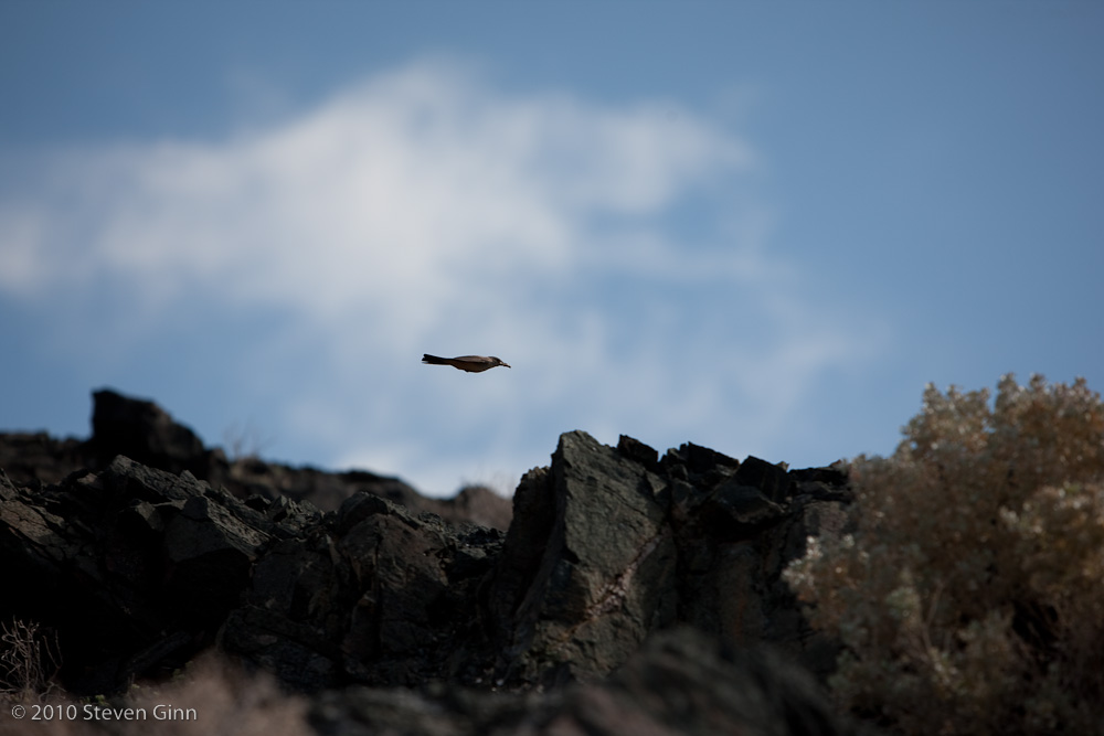
Here is a lucky shot of a bird at Saratoga Springs.
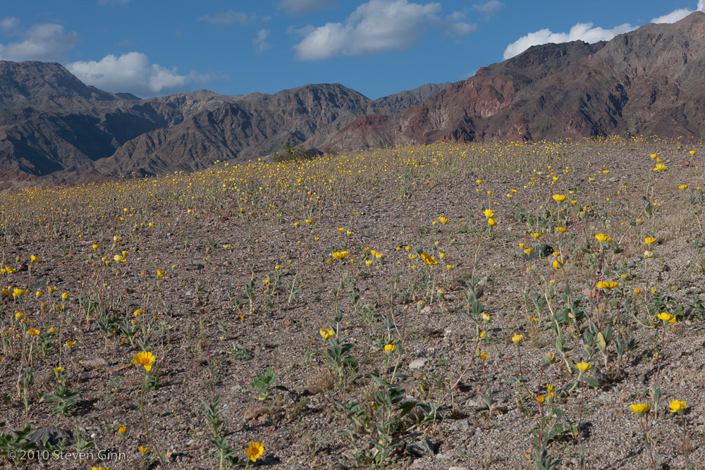
We finally worked our way back out to the paved road and headed north on Hwy 127 and then north west on Hwy 178. We saw a lot of flowers on the west side of Salsberry pass but nothing we were interested in photographing. We made a short stop at the Ashford Mill ruins where I took this field of flowers shot.
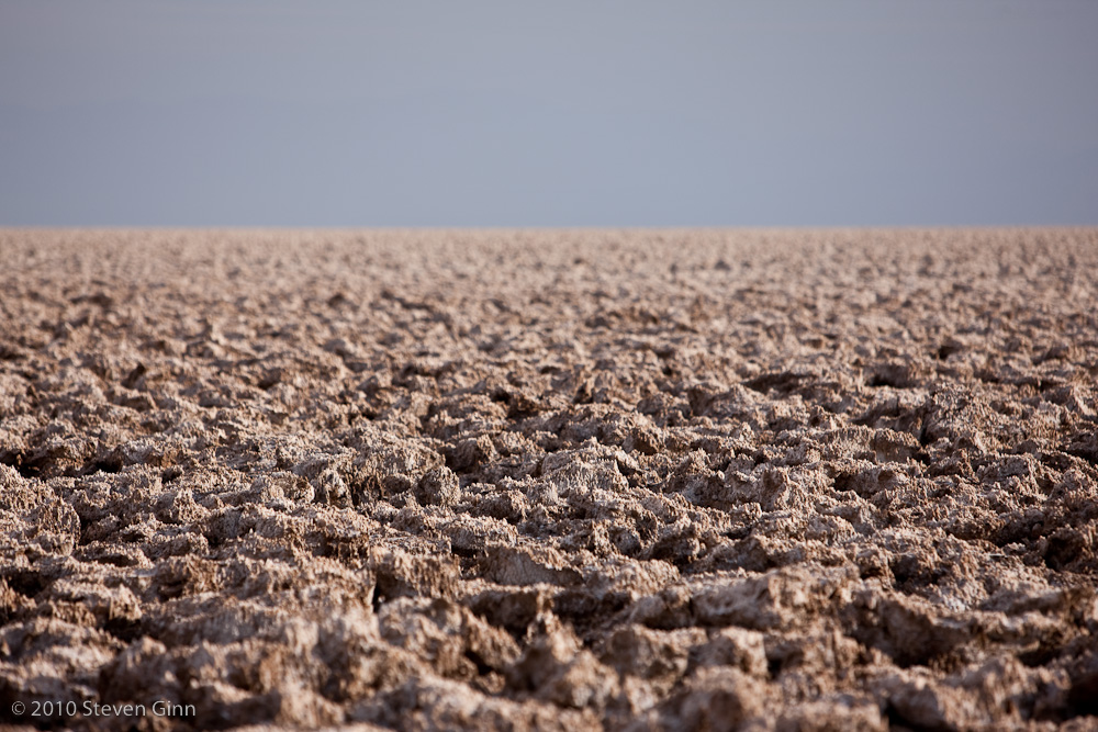
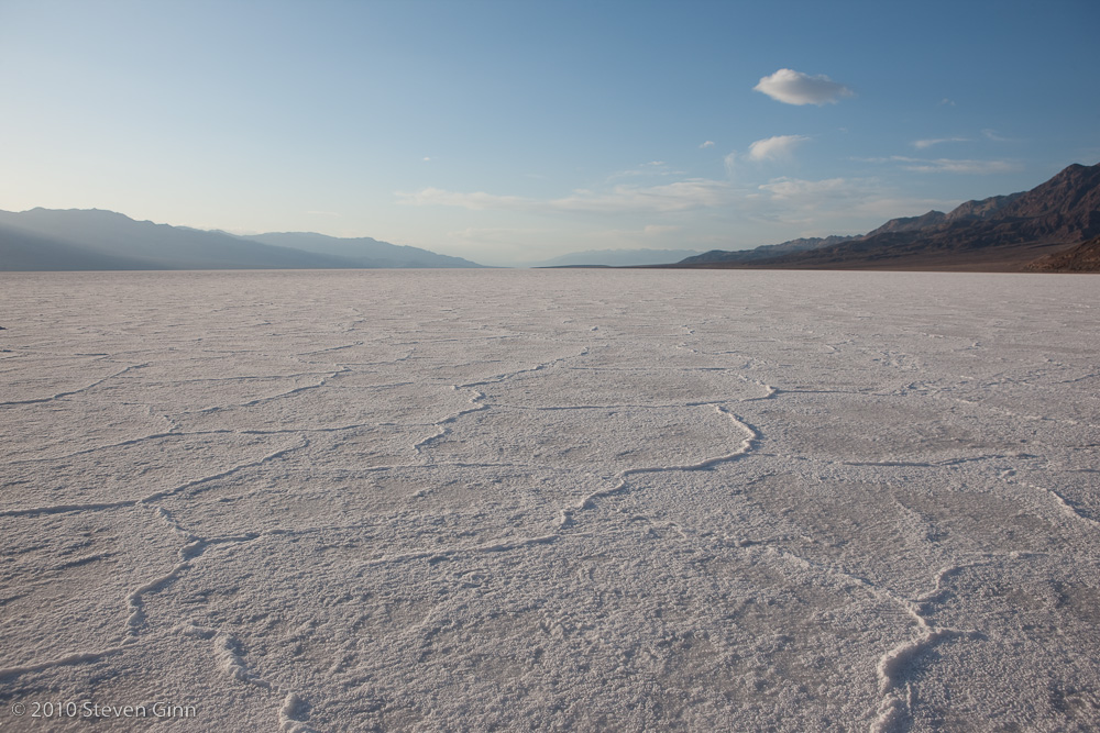
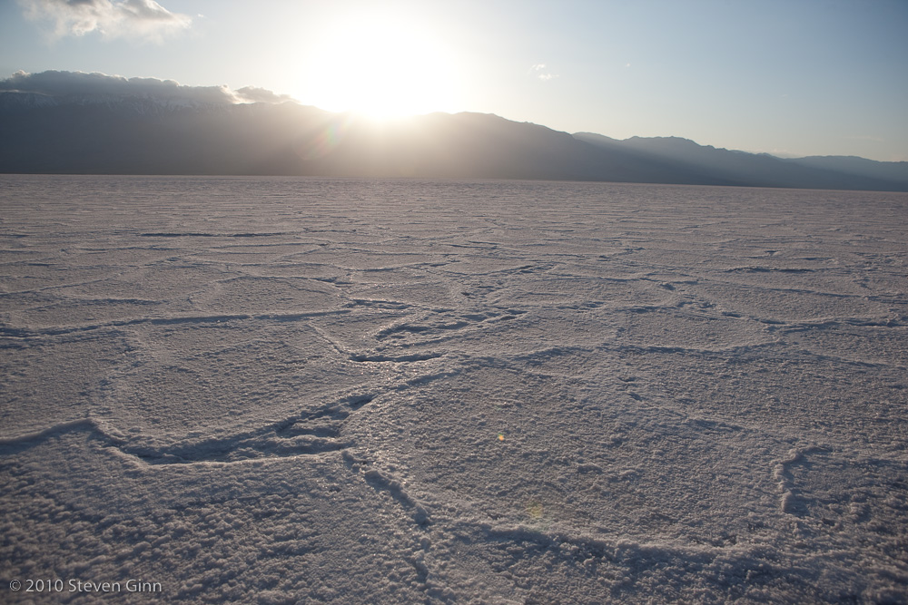
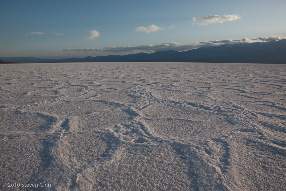
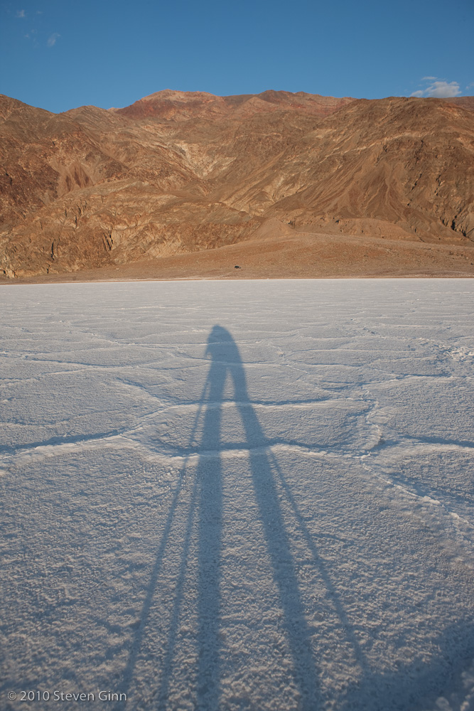
We finally reached the main goal for the day, Badwater Basin, right on time just before sunset. The following are a set of shots where I walked out into the basin. It was like walking on a few inches of crusty, slippery snow. But the salt crystals working their way into my shoes were not all that comfortable and it took me a while to clean the shoes up after getting back to the car.
The shot below is looking north.
Obviously the shot below is looking west at sunset.
The shot below is looking south.
Finally, a shot looking east back towards the tiny spot of my car.
The sun went down after this last shot, so it was a hike back to the car and we drove back to Furnace creek for another nice dinner at the Wrangler Steakhouse. I had a perfectly cooked beef tenderloin this evening.