2007 Alaska Road Trip |
 |
 |
 |
 |
 |
Due to the good condition of the road, the great weather and my desire to always see what's around the next corner we went farther than planned today. We had a fantastic drive north on the Dalton Highway all the way to Deadhorse, 240 miles, and back to camp, another 240 miles!
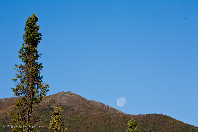
In the morning before we left camp I noticed this moon rise over the hill next to camp.
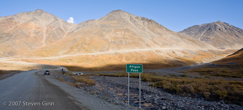
Here is the approach to Atigun Pass, at about 4800 feet it is the highest pass on the Dalton Highway. There are lots of avalanche signs on it since the road is kept open in the winter. The Brooks Range is the set of mountains that Atigun Pass crosses. I believe the Brooks Range also represents the continental divide again. Not long before this point all the the trees went away.
Here we are looking north through Atigun Valley on the other side of the pass. The pass itself was not that interesting.
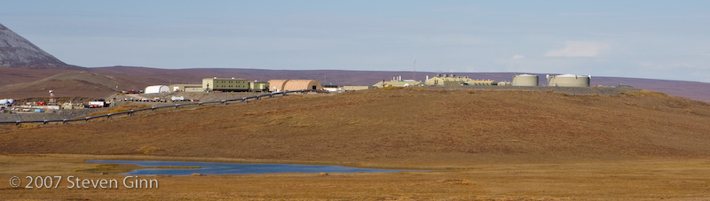
This is an example of a pump station along the Alaska Pipeline.
Here is a photo of Galbraith Lake.
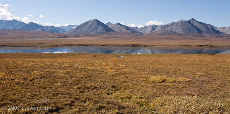
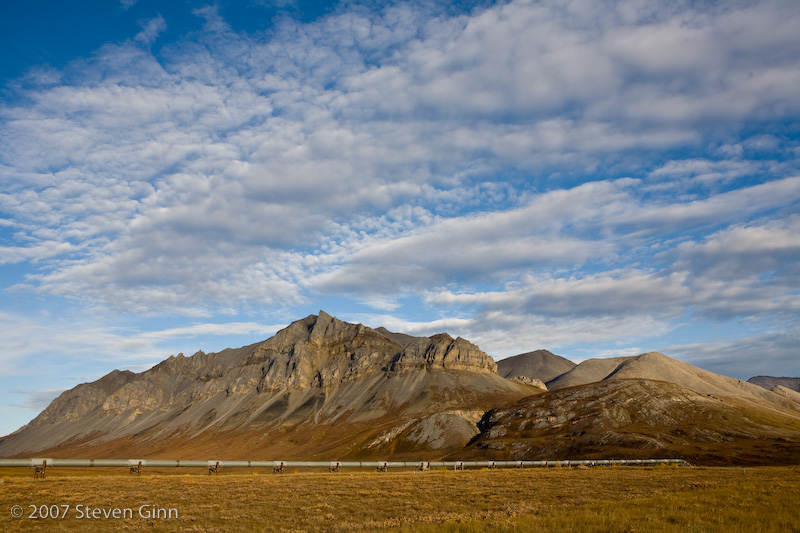
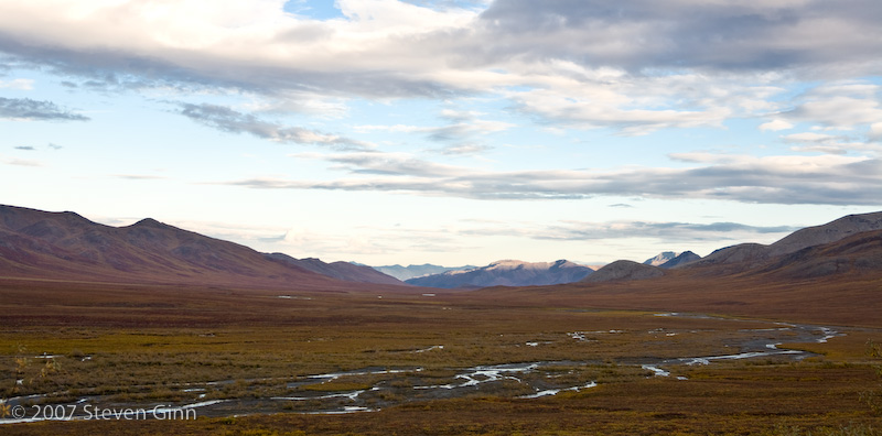
The photo below is looking back south towards the Brooks Range.
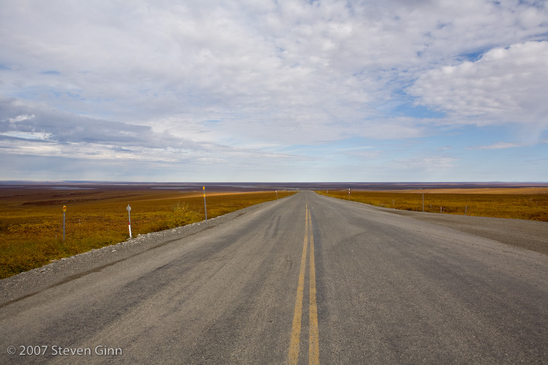
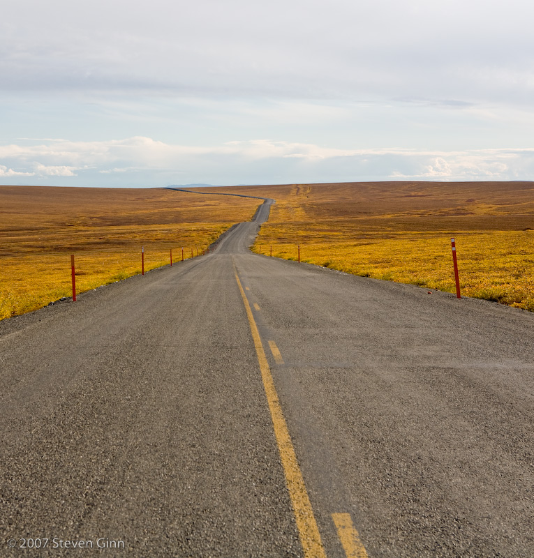
There is a road photo looking north at the North Slope.
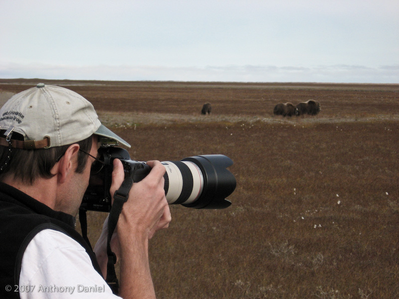
Shortly before we reached Deadhorse we spotted a small herd of Musk Oxen, this was very cool since I had never seen them before. Most of the animals that we had been seeing were Caribou. Although we were not even seeing that many of the Caribou since bow hunting season had recently opened that there were a lot of hunters out.
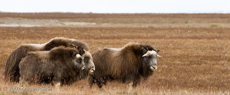
Here I am taking photos of the Musk Oxen.
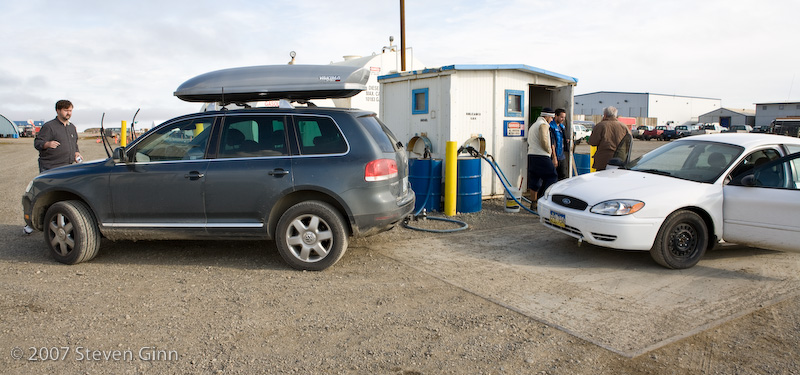
After a long drive we finally arrived in Deadhorse and the first thing we did was find fuel. This little fuel stop was completely self serve, no attendant at all. The pumps were inside the shack (I assume to stay warm in the winter) and the pump handles were just stuffed in barrels outside. The pumps did take credit cards!
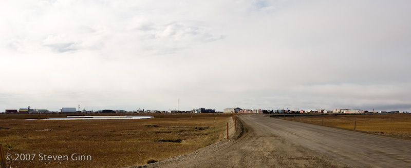
We stopped and had a soda in the local hotel, really it was just a bunch of portable trailers strapped together. Then we started south again, just outside of town I realized that I had forgotten to take a photo of the GPS. So we stopped to do that. Below is a view back north of Deadhorse.
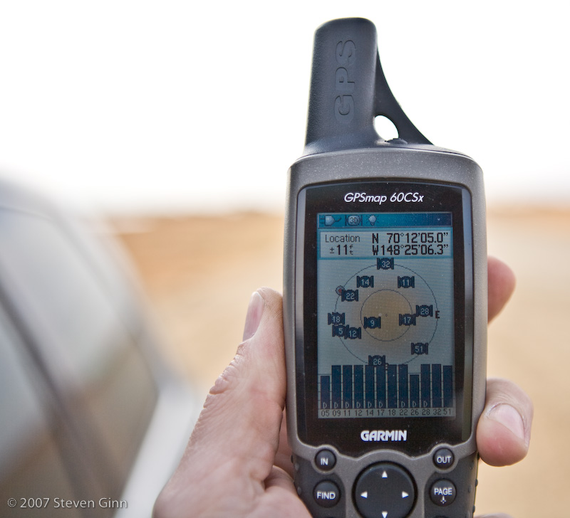
Here is a photo of my GPS, showing "almost" as far north as we went.
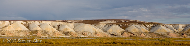
On our way back we stopped to take some photos that we had passed up on the way out. The photo below is of Franklin Bluffs not far south of Deadhorse.
Here is a road shot on the way south headed back towards the Brooks Range and Atigun Pass that reminded me a lot of some of the roads in Iceland.
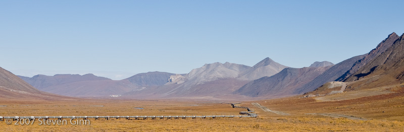
Here is a pipeline image in the Atigun Valley looking south towards the Brooks Range.
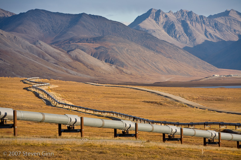
Another pipeline image.
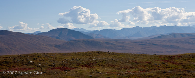
Here is a landscape image looking east part way through the Brooks range that I liked.
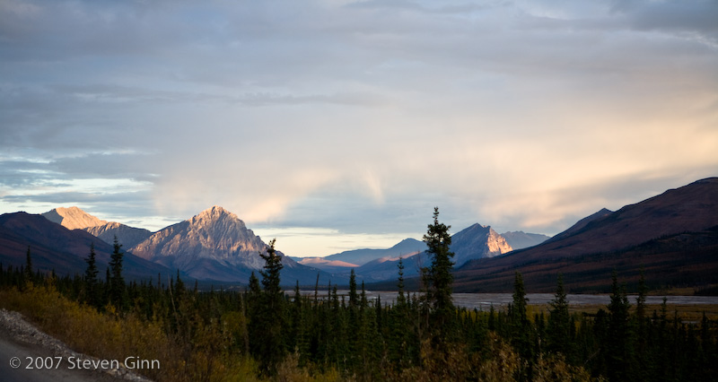
Here we are starting to get close to being back at the campground and I thought the low angle sun looked pretty cool on the mountains.
Tomorrow we plan to head back to Fairbanks.