2007 Alaska Road Trip |
 |
 |
 |
 |
 |
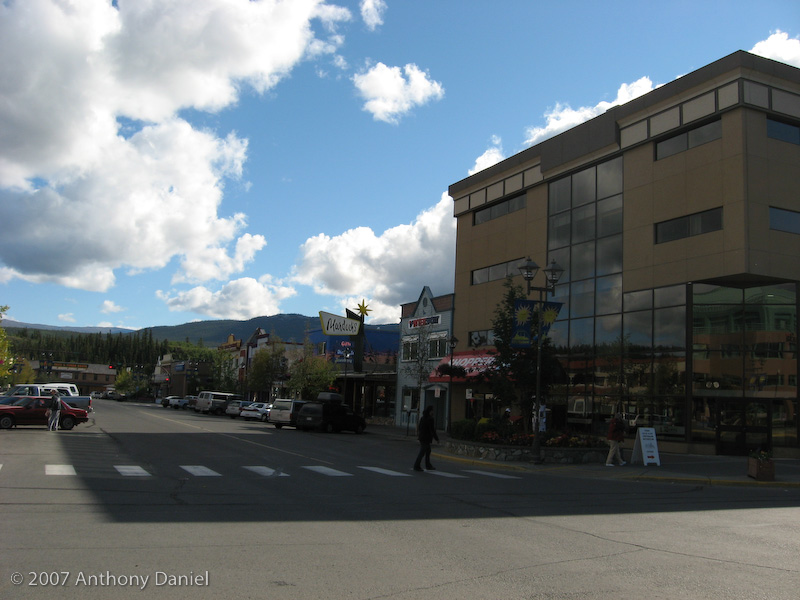
We spent the morning in Whitehorse shopping and uploading the previous journal entry. Whitehorse is the largest town we have seen since Dawson Creek. Here is a photo Tony took on his walk around town while I sat in a bakery using their free (actually I did buy a muffin and tea) wireless internet service to finish and upload the last journal entry.
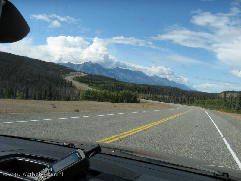
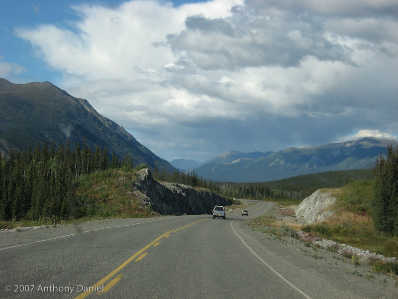
Once we left Whitehorse our goal was to make it close to the border with Alaska so that the next day we could make it a fair distance into the state. Below is a typical road shot for this drive.
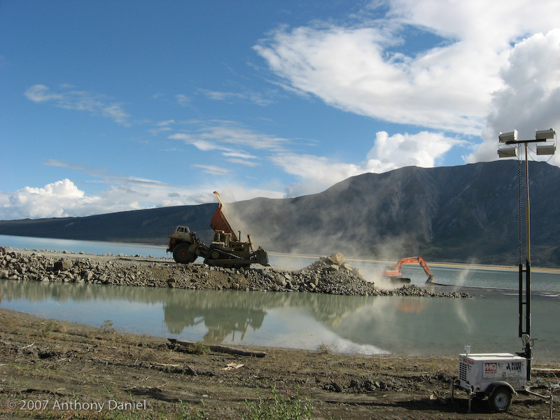
We have been hitting a lot of road construction, one of the larger ones is shown below where they seem to be actually building a new road across the end of Kluane Lake.
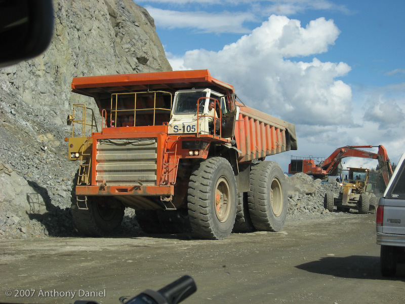
The pilot car for this construction site took us right through the middle of all the activity.
We had planned to stop for the day shortly after the above construction at Congdon Creek Government Campground at Kluane Lake but when we pulled up to the campground we found out that it was closed due to a bear being in the area.
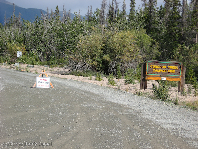
So we kept driving.
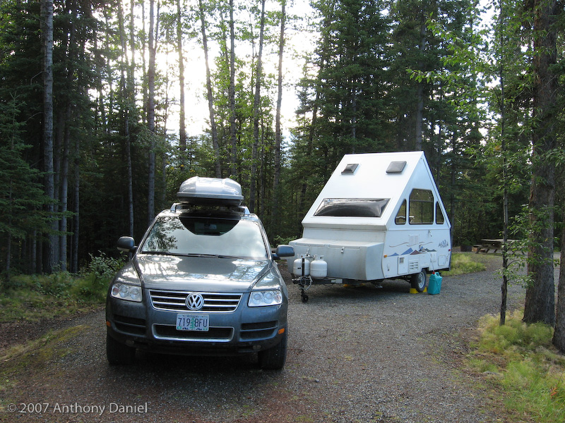
We drove about an hour and a half further to Lake Creek, here is a photo of where we are now. When we arrived we had the entire campground to ourselves. Late in the evening a couple more folks arrived. But before it got too busy I managed to sneak in a shower next to the trailer and due to the remoteness and the lack of people I didn't bother with the shower curtain.
Tomorrow we will cross the border into Alaska and head for the end of the Alaska Highway in Delta Junction.
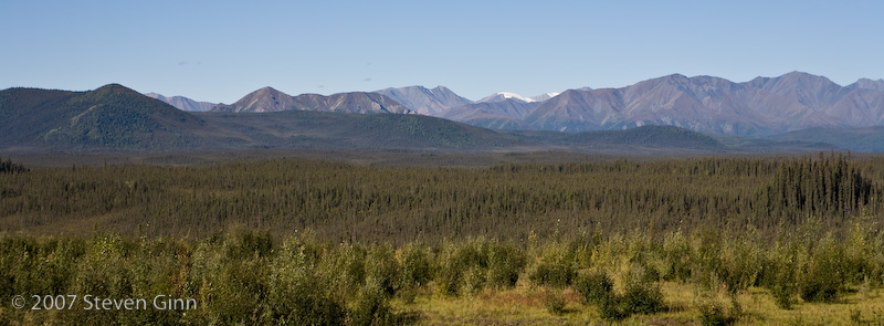
Today the goal was to cross into Alaska and get to the end of the official Alaska Highway. Along the way was some great scenery. Here is a photo of Kluane Wildlife Sanctuary in the foreground and the St. Elias Mountains in the background.
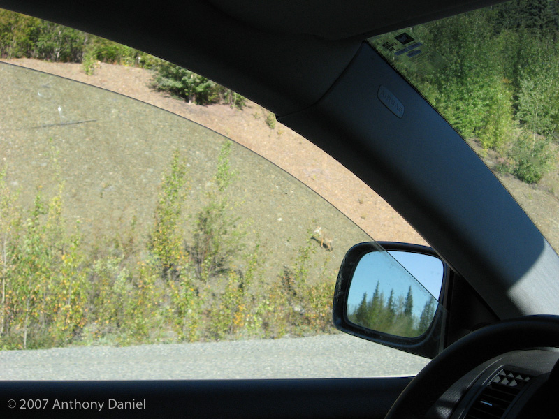
Today a fox crossed the road in front of us. We didn't get the best picture but here is what we got. Look just to the left of the mirror in the photo.
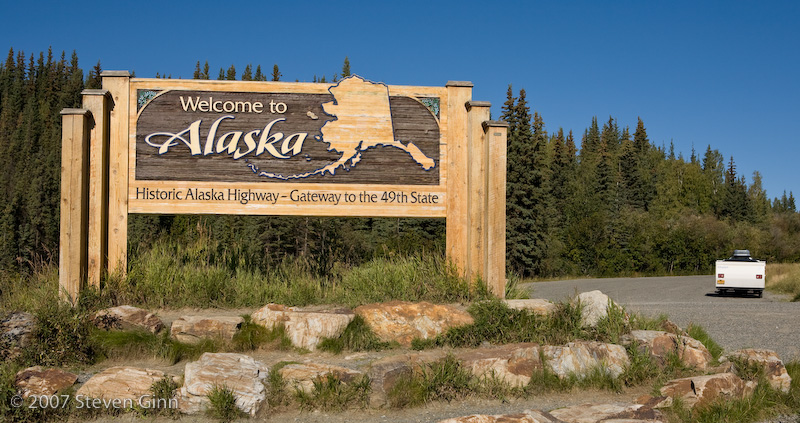
We reached the border in good time and stopped to take some photos. It turns out that there is a clearing cut in the forest to define the exact border.
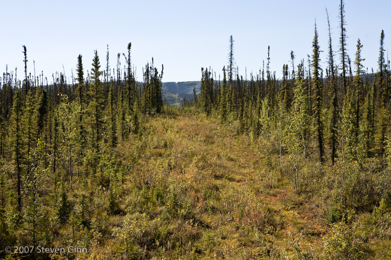
I took this photo standing practically on top of the border and obviously pointing towards Alaska.
The border crossing was smooth, except that apparently you can't bring beef products into the US from Canada so we ended up losing a kielbasa sausage we had purchased in Canada. However, just before reaching Delta Junction we stopped at a butcher shop that was recommended in the guide book and purchased some reindeer sausage and a reindeer tenderloin.
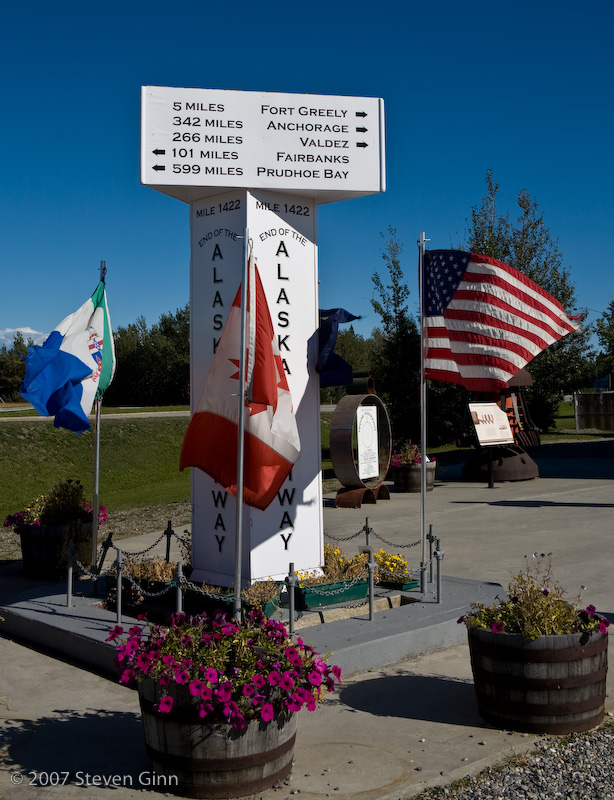
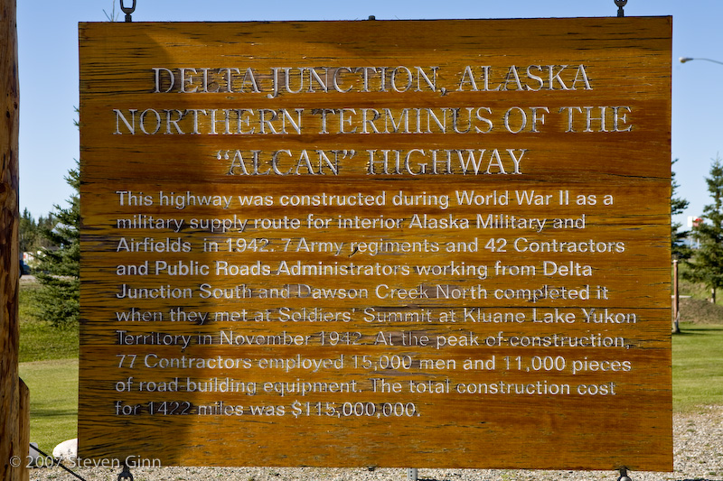
We finally reached the official end of the Alaska Highway in Delta Junction.
Here is a sign on the building of the highway. The highway was originally called the Military highway then it was called the ALCAN and now it is officially known as the Alaska Highway.
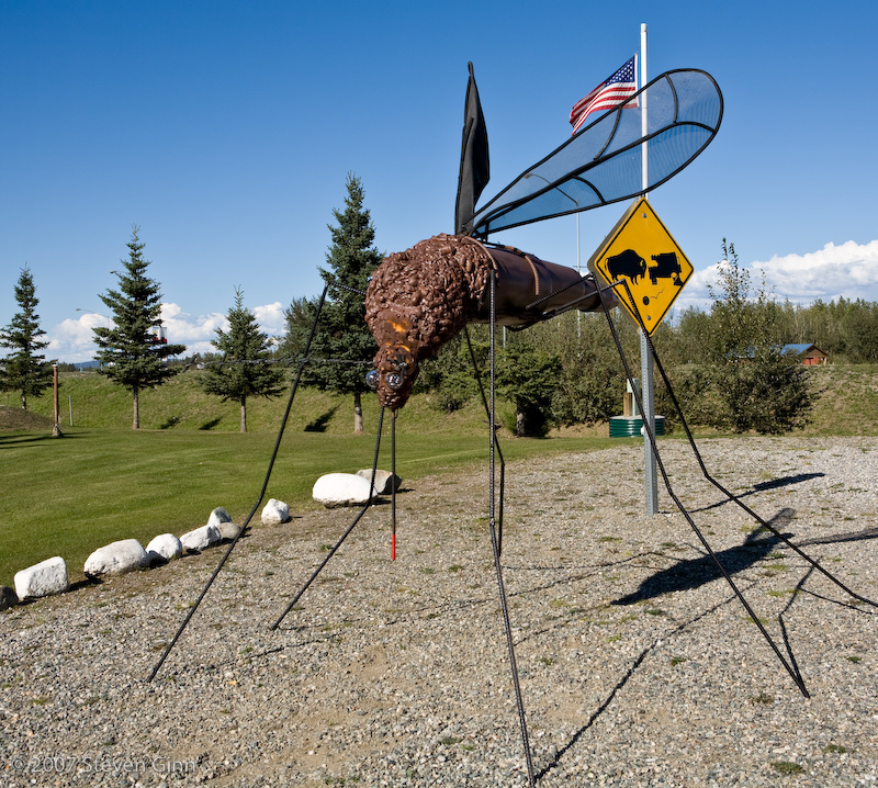
At the visitor's center in Delta Junction I thought the emphasis on Alaska sized mosquitoes was a little too much and notice the sign in the background on what happens to your RV when you play chicken with a buffalo!
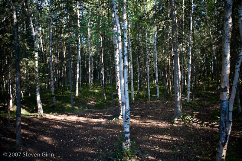
We are staying at a campground just north of Delta Junction called Lost Lake. It is fairly small and very wooded, and there is only one other site occupied. We didn't take any photos of the trailer but here is a photo looking back into the woods behind the campsite. I found myself looking back there to see if any bears were spying on us.
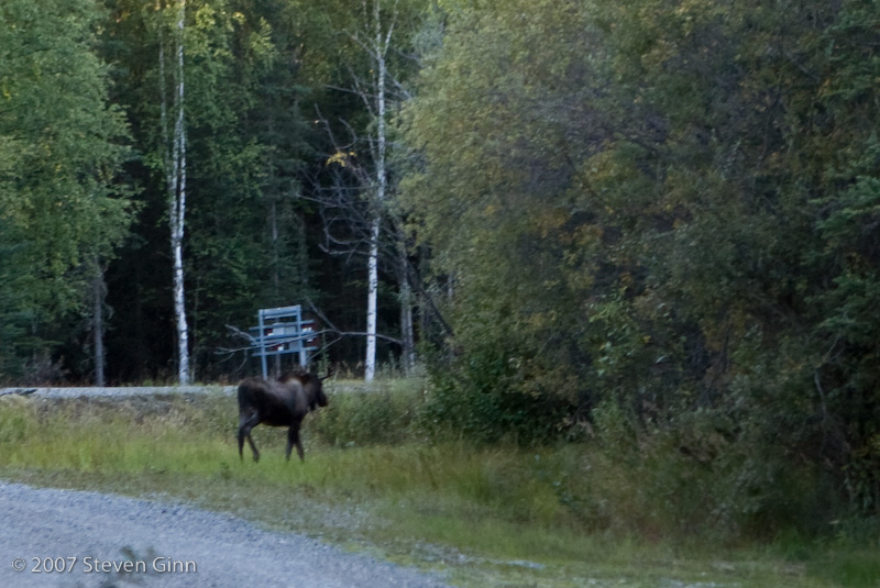
Here is a photo of a moose wondering around the front of our campsite.
For dinner we grilled the reindeer sausage and some yukon gold potatoes on the outdoor grill. It was a very nice meal but we drank the last of the beer so grocery shopping is in order for tomorrow.
Tomorrow we are planning on driving to Fairbanks, which is actually a fairly short drive.
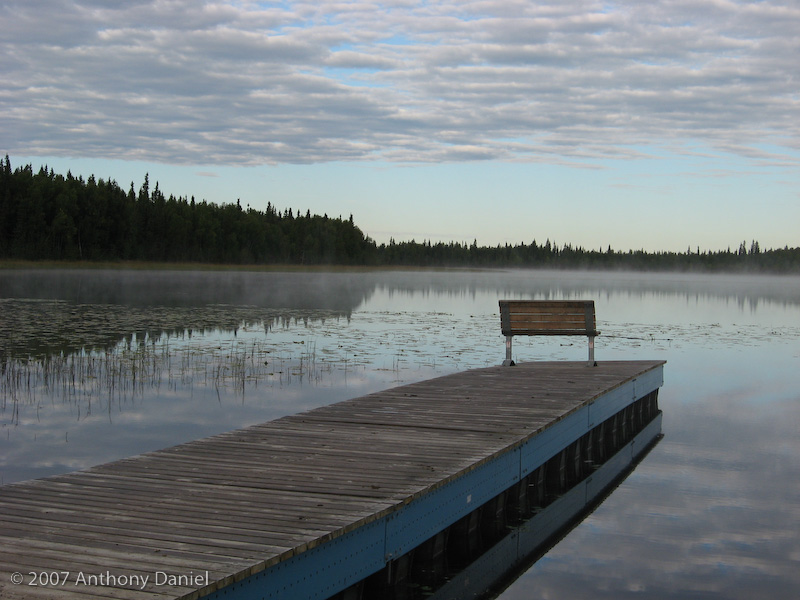
Here are a couple more photos Tony took this morning from last nights campground. The first one is Lost Lake, last night there was an amazing sunset but I did not have my camera with me at the time and it was too far away to get in time to catch the sunset, our campsite is not actually next to the lake.
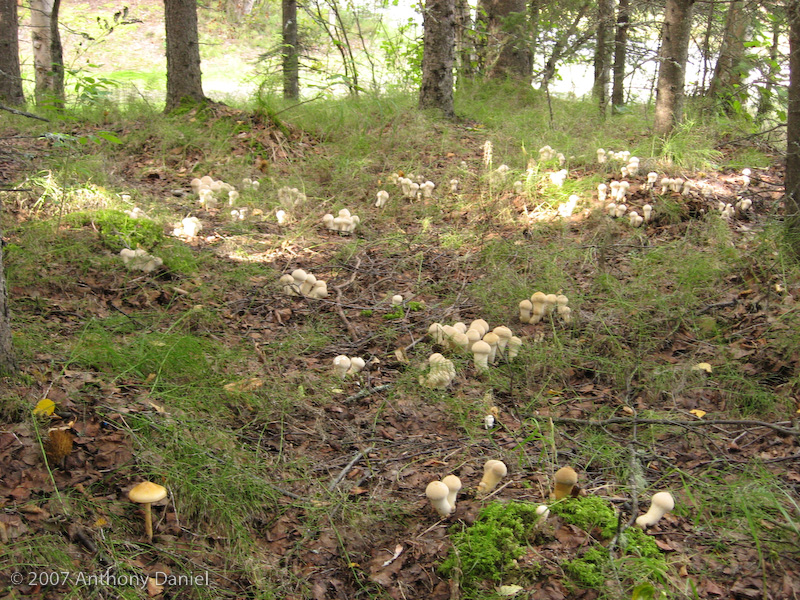
Under all the trees shown in the campsite photo from yesterday were tons of mushrooms, we didn't eat any of course!
We made it to Fairbanks without any problems except about three stops for road construction (re-paving). Since we where first in line at each stop it gave us a chance to talk to each of the flaggers for a while. Talking to flaggers can be interesting. We heard about Semi's failing to stop in time and running into the end of the line, we also heard about moose being hit on one guys drive to the work site and how one guy never goes anywhere in Alaska without taking two full size spare tires...
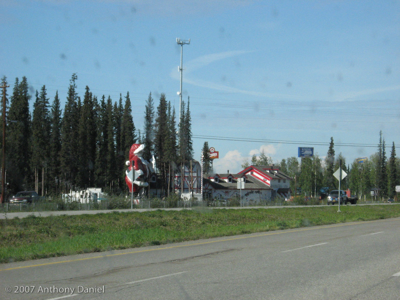
Shortly before reaching Fairbanks we went through the town of North Pole. Notice the tall Santa Claus next to the highway. (The spots in the photo are not sensor dust spots but are dead bugs on the windshield!)
In order to do laundry and to get a decent shower we decided to stay at an RV park in Fairbanks similar to the one we stayed at in Dawson Creek. We also drove into Fairbanks and did some grocery shopping and went out to our first restaurant dinner of the trip. It is very warm here and we ate out on the patio of the restaurant and had a great time.
While we were in town we also stopped at the visitor's center to check out the road conditions going north. If possible we would like to reach the Arctic Circle. The best we can tell it should not be a problem so tomorrow we are planning on continuing to head north. If the road conditions (meaning the amount of washboarding on the gravel road) are worse than expected we may abandon that attempt and start heading south towards Denali.
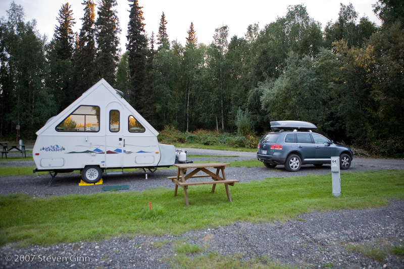
Here is a photo of our campsite tonight.
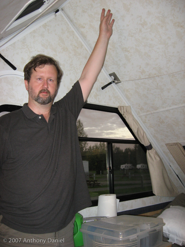
Someone sent an email wanting photographic proof that Tony actually fits in the trailer (for those who have not met Tony, he is a tall guy).
I expect it will be a fair number of days before I am able to post another entry. But keep checking every few days.